Wonderful clouds
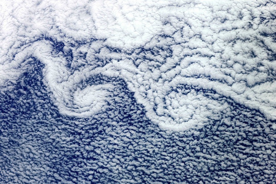
Altocumulus clouds are part of Middle Cloud group from 2000
to 7000 m up. They usually form in groups and are about 1 km thick. They
contain water drops and rarely ice crystals. They don’t predict rain, unless
there is a warm humid morning.
 |
| Altocumulus Cloud from the ISS |
Arcus cloud is a low, horizontal cloud formation. The two
types of these clouds are Roll Clouds and Shelf Clouds. A shelf cloud is
associated with a leading edge of thunderstorm outflow, while roll clouds are
formed by outflows of cold air from sea breezes or cold fronts in the absence
of thunderstorms.
 |
| Arcus Layers with Thunderstorm |
 |
| Roll Cloud in Queensland, Australia |
 |
| Roll Clouds - morning glories in Queensland, Australia |
 |
| Roll Cloud in Punta del Este, Uruguay |
 |
| Shelf Cloud in Cape Cod |
 |
| Shelf Cloud in North Dakota |
 |
| Shelf Cloud in Wagga Wagga, Australia |
Undulatus asperatus, from the class of Altocumulus, it was proposed as a separate
cloud classification in 2009. These clouds are most closely related to undulatus clouds. They appear dark and storm-like and tend to dissipate without a storm forming.
 |
| Asperatus formation |
 |
| Asperatus in Perthshire, Scotland |
Cirrocumulus clouds appear white or light gray in color, forming when water
vapor undergoes deposition at altitudes above 5000 m in temperate regions and
above 6100 in tropical regions. With a range in thickness from 100m to 8000m.
These clouds arrive in advance of the frontal system or tropical cyclone, and
they indicate that the weather conditions may soon deteriorate. While they
indicate the arrival of precipitations, cirrus clouds produce only fall streaks
( falling ice crystals that evaporate before
landing on the ground).
Cirrostratus nebulosus is a type of cirrostratus cloud ( the
other type being cirrostratus fibratus). They are formed by gently rising air. The
cloud is hard to see unless the sun shines through it at the correct angle,
forming a halo.
 |
| Cirrostratus nebulosus |
 |
| Cirrostratus fibratus in Sao Paolo, Brazil |
Lenticular Clouds are stationary lens-shaped clouds that
form at high altitudes, normally in perpendicular alignment to the wind
direction. They are separated into altocumulus standing lenticularis (ACSL),
stratocumulus standing lenticularis (SCSL) and cirrocumulus standing
lenticularis (CCSL).
 |
| Lenticular UFO |
 |
| Lenticular Arcs |
 |
| Lenticular Cloud over Mt. Fuji |
 |
| Lenticular Ribbon |
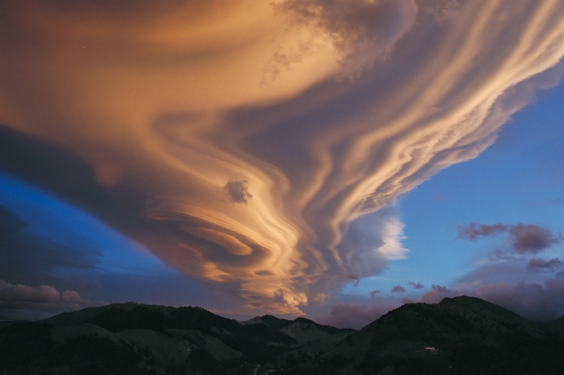
Kelvin-Helmholts instability is occurring when there is
velocity shear in a single continuous fluid or where there is a velocity
difference across the interface between two fluids. As an example : wind
blowing over water – the instability manifests in waves on the water surface.
Mammatus clouds ( mammatocumulus) describes a cellular
patterns of pouches hanging underneath the base of a cloud. They are often
associated with the anvil cloud and severe thunderstorms. They extend from the
base of a cumulonimbus, fand can also be
found under altocumulus, altostratus, stratocumulus and cirrus clouds.
 |
| Mammatus with storm |
The fallstreak hole or hole punch cloud/ skypunch / canal
cloud or cloud hole, is a large circular or elliptical gap that appears in
cirrocumulus or altocumulus clouds. This phenomenon appears when the water
temperature in the clouds if below freezing, but the water has not frozen yet
due to the lack of ice nucleation particles.
Polar stratospheric
clouds also known as nacreous clouds, are clouds in the winter polar
stratosphere at altitudes of 15000 to 25000 m. They are implicated in the
formation of ozone holes due to their
content of nitric acid and/or sulfuric acid.
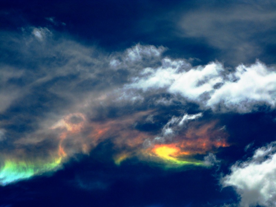
Cloud iridescence is the occurrence of colors in a cloud
similar to those seen in oil films. An uncommon phenomenon caused by small
water droplets or small ice crystals scattering light. They can be most often
observed in altocumulus and lenticular clouds.
Noctilucent clouds ( night clouds) are tenuous cloud-like
phenomena, commonly observed when the Sun is below the horizon. They are the
highest clouds in the Earth’s atmosphere, located in the mesosphere at
altitudes of around 76 to 85 kilometers.
 |
| Noctilucent clouds over tibetan plateau |
A pileus cloud, also called scarf cloud or cap cloud is a
small horizontal altostratus the can appear above a cumulus or cumulonimbus
cloud, appearing like a hood. Pilei tend to change shape rapidly. They are
formed by strong updraft at lower altitudes, acting upon moist air above,
causing the air to cool to its dew point.
Wall clouds is a large, localized and persistent lowering
cloud formation that develops beneath the base of a cumulonimbus cloud that
often forms tornadoes . The wall clouds are formed by a process known as
entrainment, when an inflow of warm, moist air rises and converges rain-cooled
air from the normally downwind downdraft. As the warm air continues to entrain the
cooler air, the air temperature drops and the dew point increases, the air
becoming more saturated with moisture, resulting in additional clouds in the
form of a wall cloud.
The vortex cloud occurs in many natural situations like
tornadoes, hurricanes and cyclones. In the photo below NASA made this
phenomenon observable with the use of colored smoke.


No comments:
Post a Comment